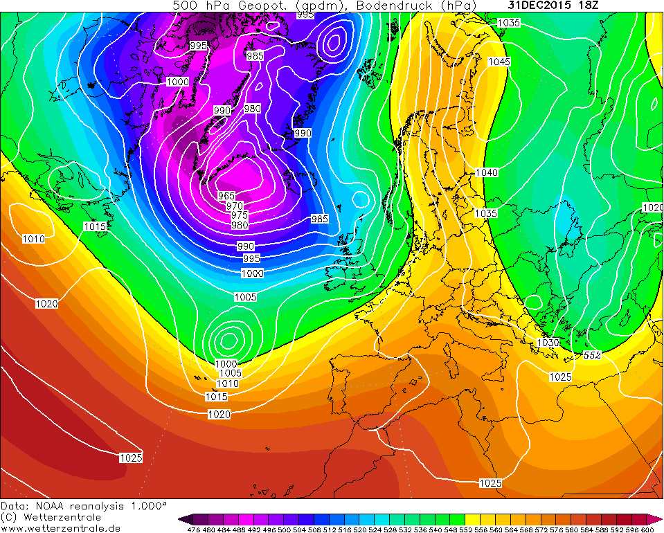
NOAA 20th century
The NOAA 20th century reanalysis is based on the 20th Century Reanalysis V3 data provided by the NOAA/OAR/ESRL PSD, Boulder, Colorado, USA. Technical details are available in this publication. The data set contains 6-hourly objectively-analyzed 4-dimensional weather maps from 1836 to 2015 at a ~75 km grid resolution.
